How to Hike from Port St Mary to Port Erin
Two of the best-known small towns on the Isle of Man are Port St Mary and Port Erin.
These two towns sit on opposite sides of a base of a peninsula on the southern end of the island, and are less than 2 kilometers apart as the crow flies. So: it’s possible to walk a straight and simple route along the roads between Port St Mary and Port Erin — it would take just half an hour or so.
But that would be so much more boring than the better option, which is to hike around and through the peninsula. This makes for a really lovely morning or afternoon hike with plenty of coastal views and optional detours to see a historic village and burial circle.
I completely loved this hike — it was beautiful at nearly every moment, extremely serene (I saw a lot of sheep and hardly any other humans), and not terribly difficult. In fact, I loved it so much that I’m scheming to return to the Isle of Man so I can walk the full trail that this hike is a part of — the Raad ny Foillan, a loop around the entire island.
Here’s how to hike from Port St Mary to Port Erin.
Know Before You Go
START | Port St Mary
END | Port Erin
LENGTH | 5.3 miles / 8.5 kilometers
TIME | 2.5 to 3 hours (including lots of time for photos and admiring the views!)
DIFFICULTY | Easy to moderate
COST | This hike is free! However, you will need to pay for transportation to Port St Mary and from Port Erin.
HIGHLIGHTS | The views are beautiful along nearly all of this hike, but I’m partial to the scenery around the Chasms and the view of Milner’s Tower from Meayll Circle.
TIP: This map contains the locations and hiking route discussed in this blog post. To save it to your own Google Maps account, click the star next to the map’s name. You can then find and use the map from your Google Maps app by going to “Saved,” then “Maps.”
Getting to Port St Mary
The most interesting way to get to Port St Mary to begin this hike is to take the Isle of Man Steam Railway. The Port St Mary train station is just a bit north of the harbor, so add a few minutes to the suggested length listed above — for walking from the station to the harbor — if you arrive by train.
You can also take the bus to Port St Mary and disembark around the harbor area.
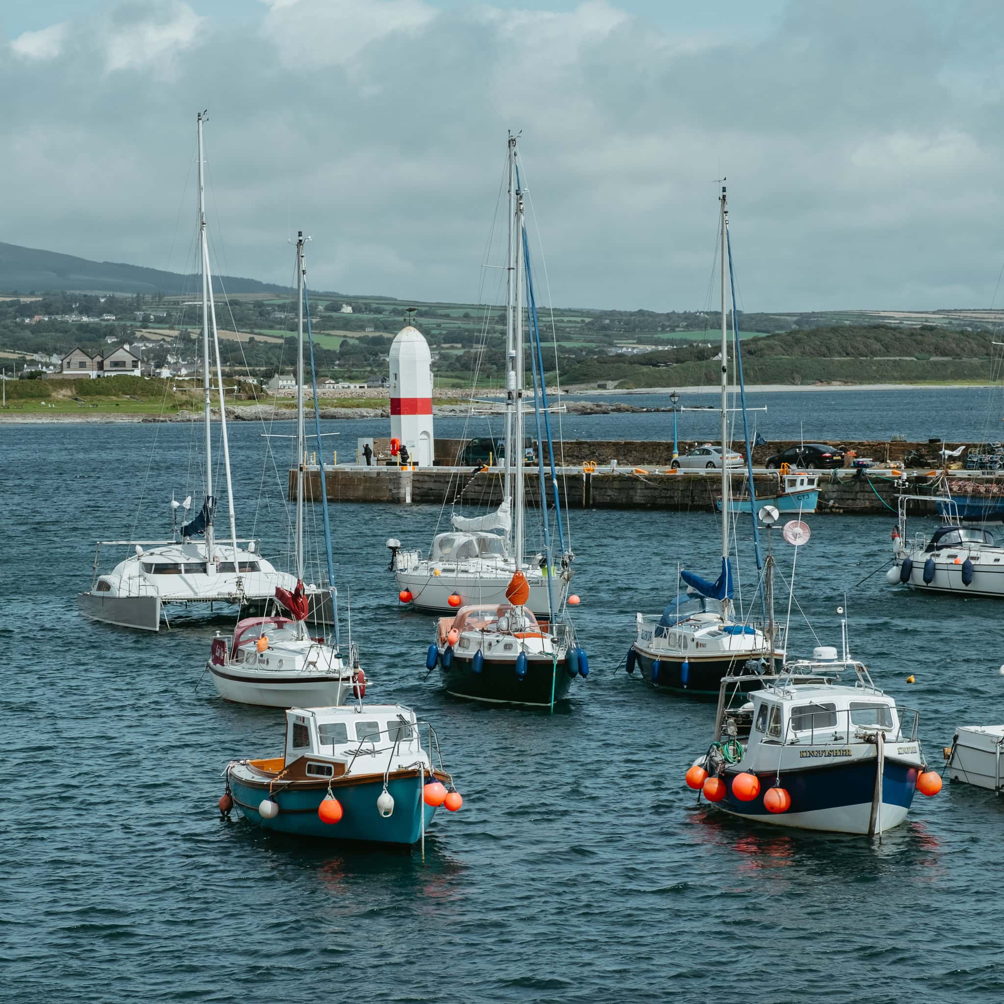
The Port St Mary Harbor
Make your way to Lime Street and begin walking south along the harbor.
It’s a charming little harbor with lots of boats — at least, there were many boats when I passed through!
If you need to fuel up before your hike, I had a lovely lunch at The Boathouse.
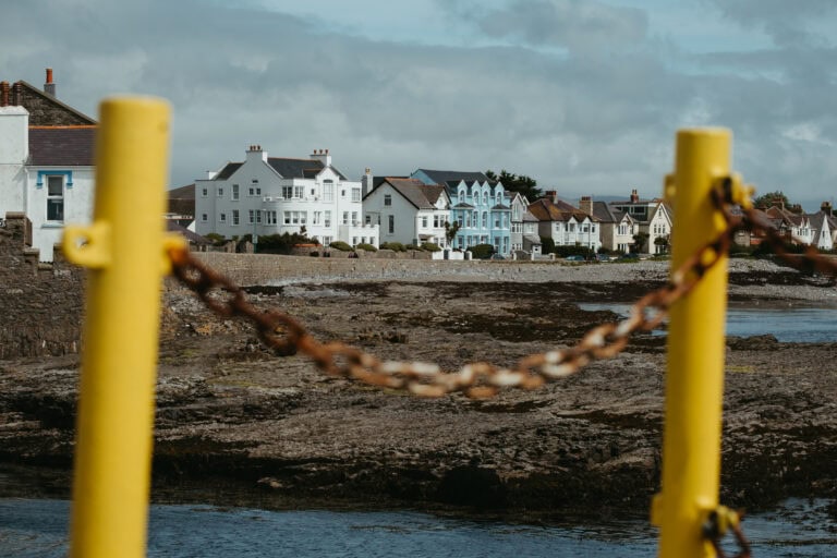
As you swing around the harbor and begin to follow the road west, there is a outlook area with a memorial to World War II soldiers, some Isle of Man flags, and lovely views of the coastline.

Continue to follow this road as long as you can. You will walk past a golf course, along Perwick Bay, and through residential areas. The path is a bit unclear at moments here, but simply look for (and follow) the signs for the Raad ny Foillan trail.
Walking Along the Coast
When you reach the fork, turn left to follow the coast.
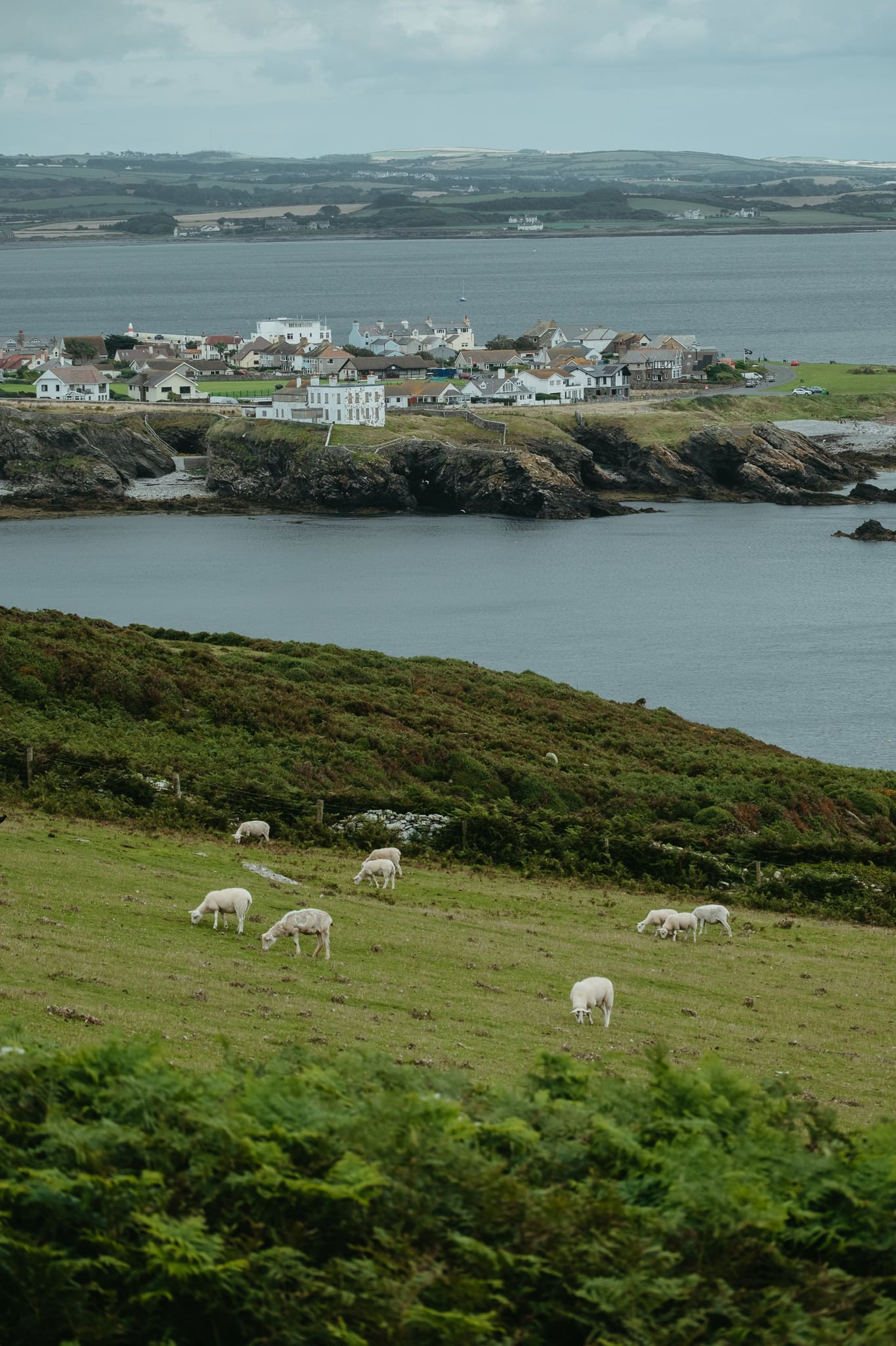
This is a beautiful section of the trail. Be sure to look back for excellent views of Port St Mary in addition to appreciating the coastline and the surrounding pastures.
When I did this hike, much of this section was full of sheep (and no one else) — so be sure to keep an eye out for sheep droppings on the ground. (In my experience, they may be hard to avoid.)

The Chasms
Eventually, the path will lead you up toward a hill where you will see a gray, stone building that says “CAFE” on the side. (This building used to be a cafe but is now abandoned.)
Across from the front of the building, through a green gate, is the Chasms — a scenic cliffside area with deep fissures in the limestone, so watch your step!


At this point, you can continue to follow the Raad ny Foillan along the coast, or you can turn inland and begin to cut across the peninsula.
I chose the latter option because I wanted to see several sights that are inland. If you instead stay on the coast, you will add nearly 2 miles to your total hiking distance.
The map included above in this post follows the inland trail.
Cregneash
From the Chasms area, walk up the steep hill behind the gray building.
When you come over the hill, you will see the village of Cregneash. This is a Manx National Heritage site and open-air folk museum where you can see how Manx people lived long ago. If you like, and have time, you can stop here to visit Cregneash. (Entry is free if you have a Go Explore Heritage card.)


To your left at this point is a view of the Calf of Man, a small island that’s used as a bird observatory and nature reserve.
Meayll Circle
As you leave Cregneash, briefly turn left onto the main road, but then take an immediate right onto the hill on your right. Walk up and over this hill.
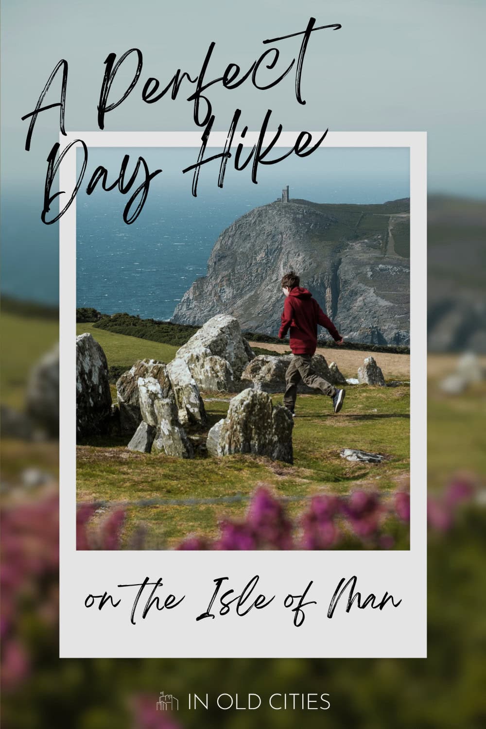
On the other side of the hill is Meayll Circle, an ancient burial circle believed to be more than a thousand years old. From Meayll Circle, you have a great view of Milner’s Tower, a 19th-century tower on top of a hill on the other side of Port Erin.
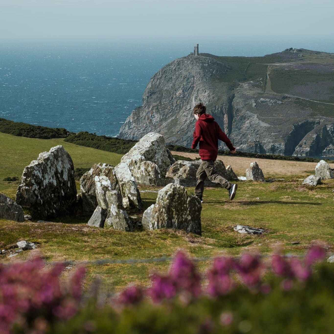
Exit Meayll Circle and walk down the hill on the other side. This path is steep, narrow, and — on the day I hiked, at least — muddy.
Arriving in Port Erin
Eventually, you will hit the road. Follow this road the whole way into Port Erin. Be very careful on the road, as it’s a narrow road with plenty of blind corners for the cars you’ll likely encounter.
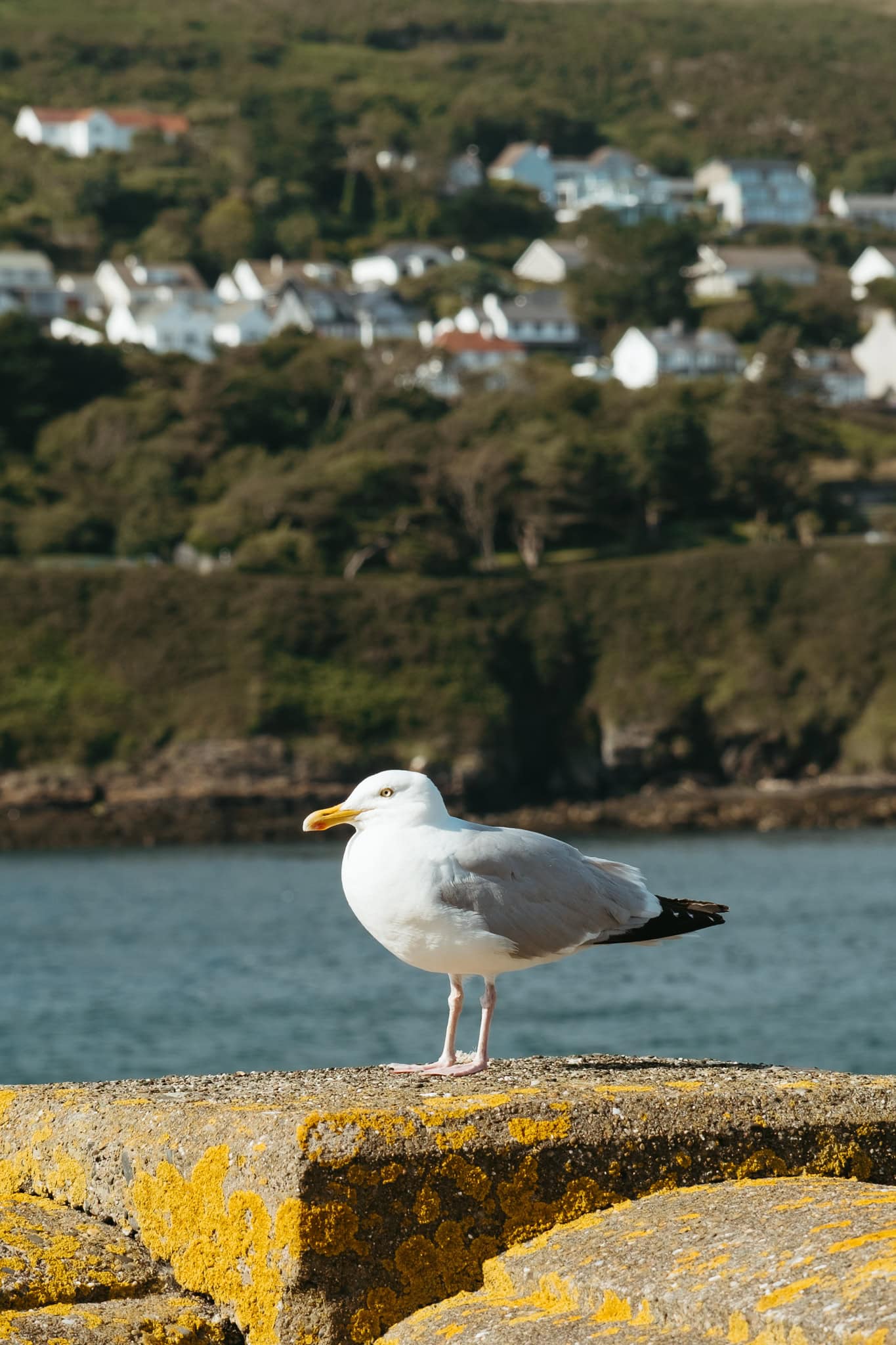
If you have time, be sure to explore Port Erin a bit. You can walk out onto the pier to the south of the beach, check out the beach and its lighthouse, or visit the Isle of Man Steam Railway Museum. You can even hike up to Milner’s Tower!

When you are done exploring Port Erin, head to the train station and return to your home base. If you need (or prefer) to take a bus instead, there is a bus stop outside the train station.
More Information About the Isle of Man
ITINERARY | Here’s your perfect itinerary for three days on the Isle of Man.
GETTING TO THE ISLE OF MAN | An overview of how to reach the Isle of Man by ferry or plane.
GETTING AROUND | All about how to get around the Isle of Man via public transit.
COSTS | Find out how much I spent during four days on the Isle of Man.
THINGS TO DO | Discover 21 delightful things to do on the Isle of Man, or read about how to visit the Great Laxey Wheel.
MOUNTAIN | Learn how to visit the island’s highest point.
TOWNS | Discover the towns of Castletown and Peel.
pin this post