

How to Walk from Giant’s Causeway to Carrick-a-Rede Bridge
There are reasons they’re so popular.
With Giant’s Causeway, it’s obvious: these bizarre hexagonal columns — formed millions of years ago by cooling lava — are one of the most intriguing things you’ll find anywhere on the island of Ireland.
Carrick-a-Rede’s draw is perhaps more subtle: this suspension bridge connects the mainland to the tiny island of Carrick, where generations of fishermen once sought out salmon.
These two attractions, located just a few miles apart on Northern Ireland’s magnificent coastline, are two of the most popular tourist destinations in the country.
Together, they’re a popular day trip, with most visitors driving or riding a bus between them.
But if you ask me, there’s a much, much better way to travel between Giant’s Causeway and Carrick-a-Rede: walking.
It’s a spectacular hike along the cliffs — with incredible views, castle ruins, beaches with cows (yes!), and more — and it’s perhaps my very favorite thing to do in Northern Ireland.
Here’s what to know about walking from Giant’s Causeway to Carrick-a-Rede Bridge.
KNOW BEFORE YOU GO
START | Giant’s Causeway
END | Carrick-a-Rede Bridge
LENGTH | 18 kilometers / 11.2 miles
TIME | 4-6 hours (including lots of time for photos and admiring the views!)
DIFFICULTY | Easy to moderate
COST | This hike — including entrance to Giant’s Causeway and Carrick-a-Rede Bridge — is free! However, if you need to park a vehicle at one end of the route, certain parking areas charge a fee.
HIGHLIGHTS | The coastal views are incredible along nearly all of this hike, but I’m partial to the cliffs in the first few miles after Giant’s Causeway.
This post contains affiliate links. If you make a purchase or a booking through one of these links, I may receive a small commission at no extra cost to you. Thanks for supporting In Old Cities in this way!
Getting to Giant’s Causeway
Start your day by making your way to Giant’s Causeway. I recommend trying to arrive relatively early — before 9 am, if possible — in order to avoid the crowds of day trippers that flood the site by mid-morning.
For this hike, it’s easiest if you’re staying near the coast, where buses to Giant’s Causeway are easy to catch. Personally, I recommend Ballycastle, which is also the perfect base for visiting Rathlin Island.
While in Ballycastle, I stayed at this Airbnb. I loved it: it was comfortable, clean, and conveniently located right in the center of town (but within walking distance of the ferry pier).
For other lodging in Ballycastle, consider these options:
BUDGET | Northern Ireland can be an expensive place to visit, so if you’re traveling on a budget, consider staying at Ballycastle Backpackers Hostel. This comfy spot is located just a few steps from the ferry pier, making it an extremely convenient place to stay for a day trip to Rathlin Island.
COMFORT | Causeway Coast Haven is a charming apartment that’s fully outfitted with a kitchen and washing machine. Plus, it’s right in the heart of town.
LUXURY | The Salthouse Hotel is a gorgeous property located in the countryside, just outside the town of Ballycastle. Breakfast is included!
From Ballycastle (or wherever your home base is), catch a bus to the stop just outside Giant’s Causeway.
You can plan your bus journey (or any other public transit within Northern Ireland) at the Translink website.
Exploring Giant’s Causeway
Giant’s Causeway is a joy and a wonder to explore. This unusual geological phenomenon occurred 50 to 60 million years ago, when cooling lava cracked into the angled basalt columns we see today (most of them are hexagonal).

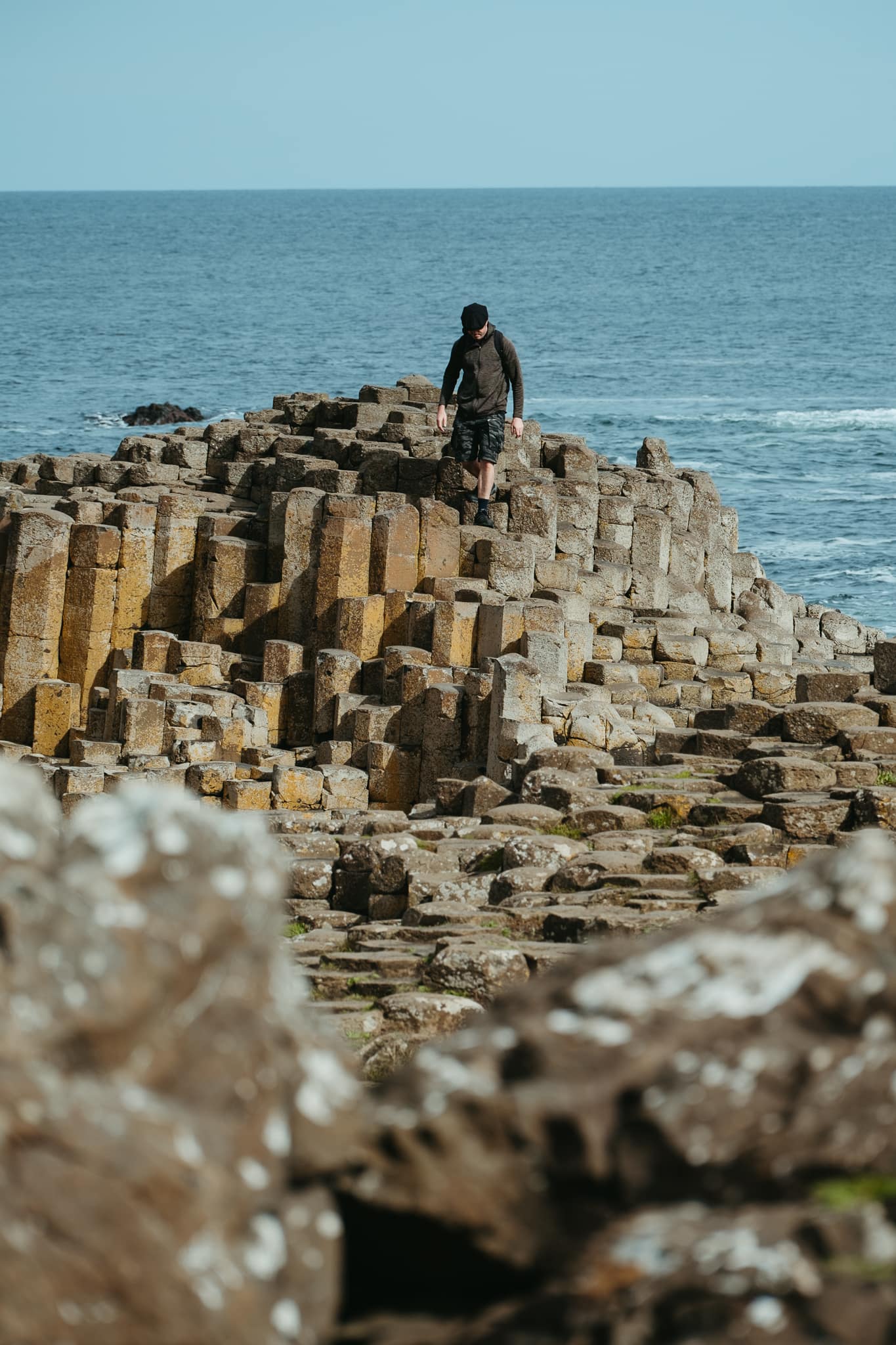
Aside from the Grand Causeway — the main area where a group of basalt columns jut into the sea — be sure to check out these highlights of Giant’s Causeway:
READ MORE: What to Know About Visiting Giant’s Causeway
Hiking the Causeway Coast Way
The hike from Giant’s Causeway to Carrick-a-Rede Bridge is actually just a portion of a longer hiking trail along the coast — the Causeway Coast Way.
The Causeway Coast Way extends from Portstewart to Ballycastle. In total, it’s about 51.3 kilometers or 31.8 miles along.
During my time in Northern Ireland, over two separate days, I hiked most of the Causeway Coast Way. It’s a wonderful trail that most people of average fitness and ability can complete without too much trouble.
And, for what it’s worth: the section between Giant’s Causeway and Carrick-a-Rede Bridge was easily my favorite part!
Here’s what to know about walking from Giant’s Causeway to Carrick-a-Rede.
TIP: This map contains the locations and hiking route discussed in this blog post. To save it to your own Google Maps account, click the star next to the map’s name. You can then find and use the map from your Google Maps app by going to “Saved,” then “Maps.”
Hamilton’s Seat
Leave Giant’s Causeway by either walking back up the main entrance road and turning left onto the cliffside trail (look for the trail signage!), or by climbing up the Shepherd’s Steps and doing the same (the steps terminate directly onto the Coast Way trail).
Begin to follow the path along the cliffs. Here, above Giant’s Causeway, the views are just incredible. You can look down at the people exploring the Grand Causeway and other areas of Giant’s Causeway, look west toward Dunluce Castle and the distant town of Portrush, and more. The cliffs are simply spectacular.
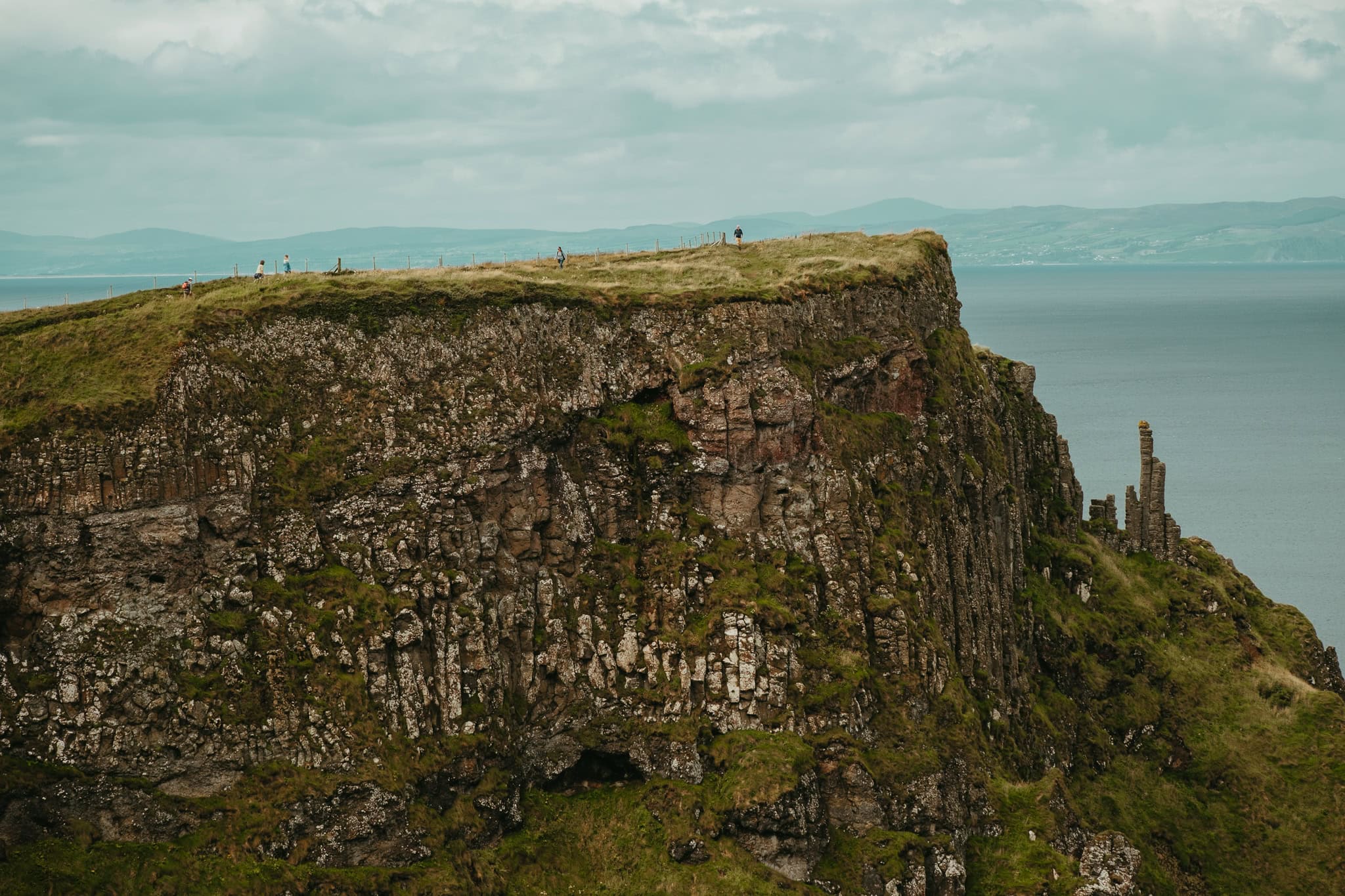
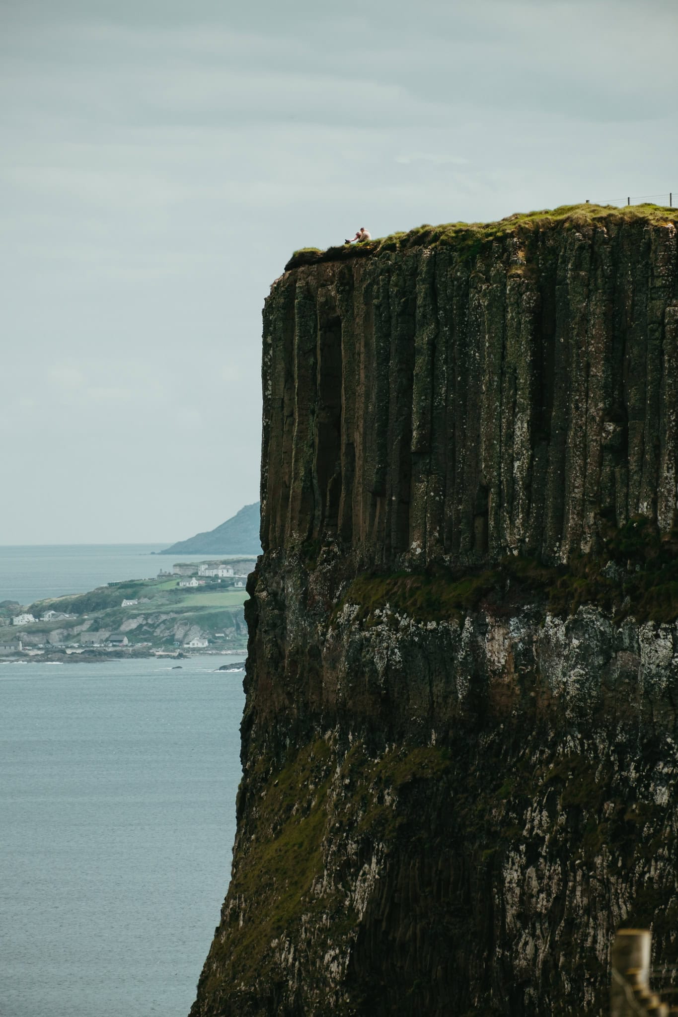

Not far past Giant’s Causeway (about 3 miles from the visitors’ center), you will reach Hamilton’s Seat, which is the high point of the trail in terms of elevation.
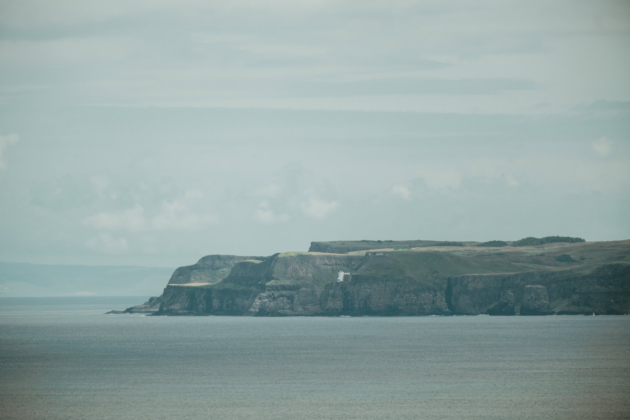
Ahead of you, on the left, you will see Rathlin Island, which is Northern Ireland’s only inhabited island. (It makes for a great day trip, FYI!) If you have a decent zoom lens, you should be able to make out the white lighthouse (built into the cliffside) at the end of the island.
Dunseverick Castle
Approximately two miles past Hamilton’s Seat, you will reach Dunseverick Castle.
Dunseverick Castle was a key site in ancient Ireland — Saint Patrick even visited once, allegedly — but today it is in ruins. Only a few stone pillars remain, sitting quietly on a basalt perch.


After you pass the castle, continue to follow the path that heads left toward the coast (not the road).
Dunseverick Harbour
Approximately 1 mile after the castle (or about 5.9 miles after the Giant’s Causeway visitors’ center), there is a steep set of stone steps leading up to the right. (Look for the marker pointing toward Dunseverick Harbour.) Go through the gate and climb these steps, then turn left onto the road, which will quickly lead you to Dunseverick Harbour.
For the purposes of this hike, Dunseverick Harbour is most notable for having free public toilets. I highly recommend using them; you may not encounter another public toilet until you reach Carrick-a-Rede Bridge.
White Park Bay
The path is quite overgrown after Dunseverick Harbour — or, at least, it was overgrown when I walked this route! — but there is signage pointing the way.
Keep following any signs you see toward Carrick-a-Rede Bridge, or marking the Causeway Coast Way. You will climb some stairs and then walk under a natural basalt archway to reach Portbradden Harbour. (Stay as close to the cliffs as you can — the boulders can be treacherous where the water crashes over them!) In the harbor, you will pass a former salmon fishery and some houses.

Next, you need to climb over many more boulders in order to access the beach at White Park Bay. At high tide, the path may be impassable, so I strongly recommend planning your journey to avoid reaching White Park Bay near high tide. (Check the tide schedule here!)
Indeed, I reached this part of the trail perhaps an hour or so before high tide, and crossing the boulders already felt pretty dangerous. I had to be very cautious about not slipping on wet stones, and avoiding the boulders that waves were about to overtake. Many of the boulders were already underwater and completely impassable. Please take this warning seriously!
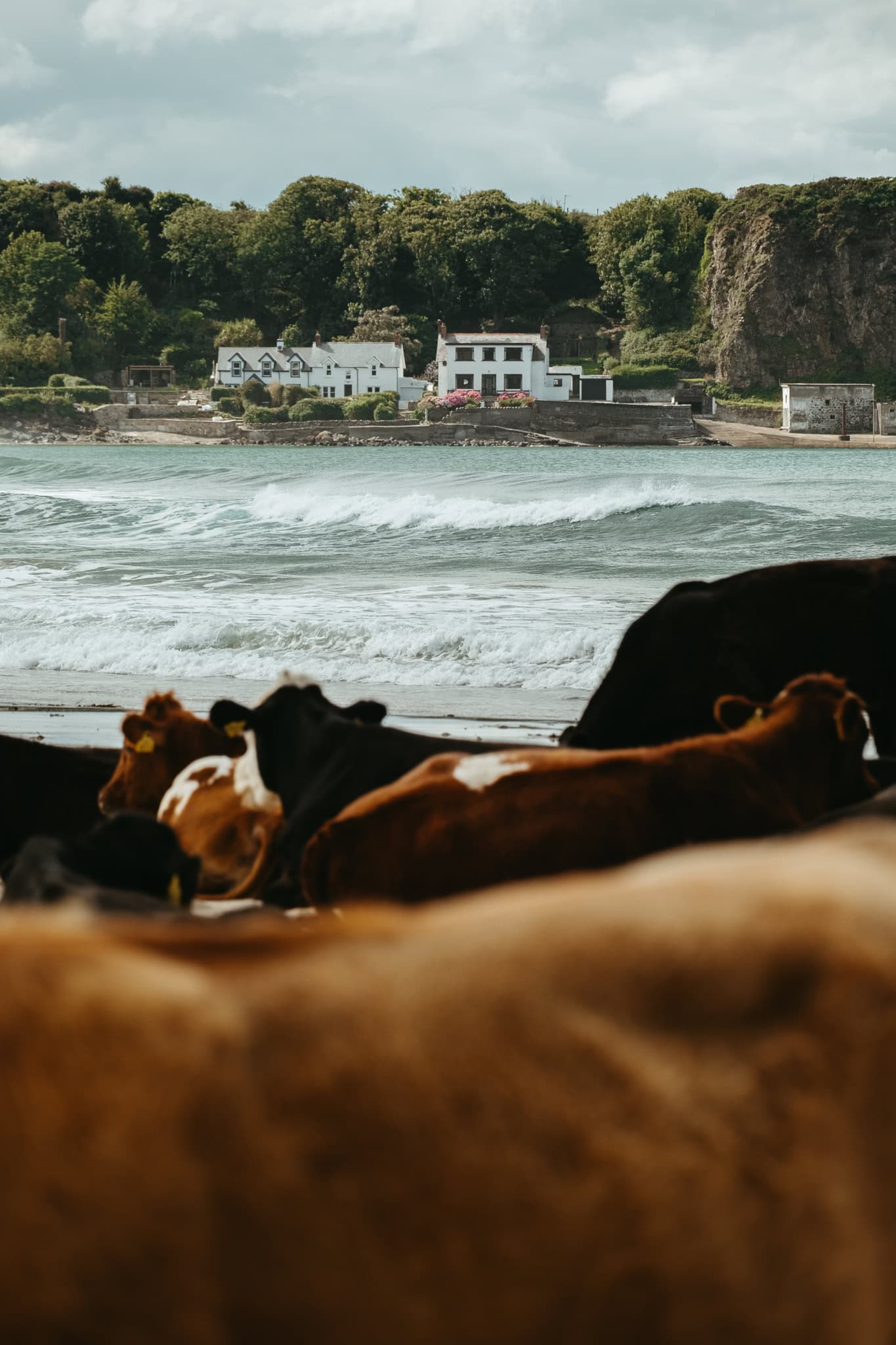
After making your way across the boulders, start walking toward the other end of the beach. The White Park Bay beach is quite long, and lovely, but especially notable for one thing: cows!
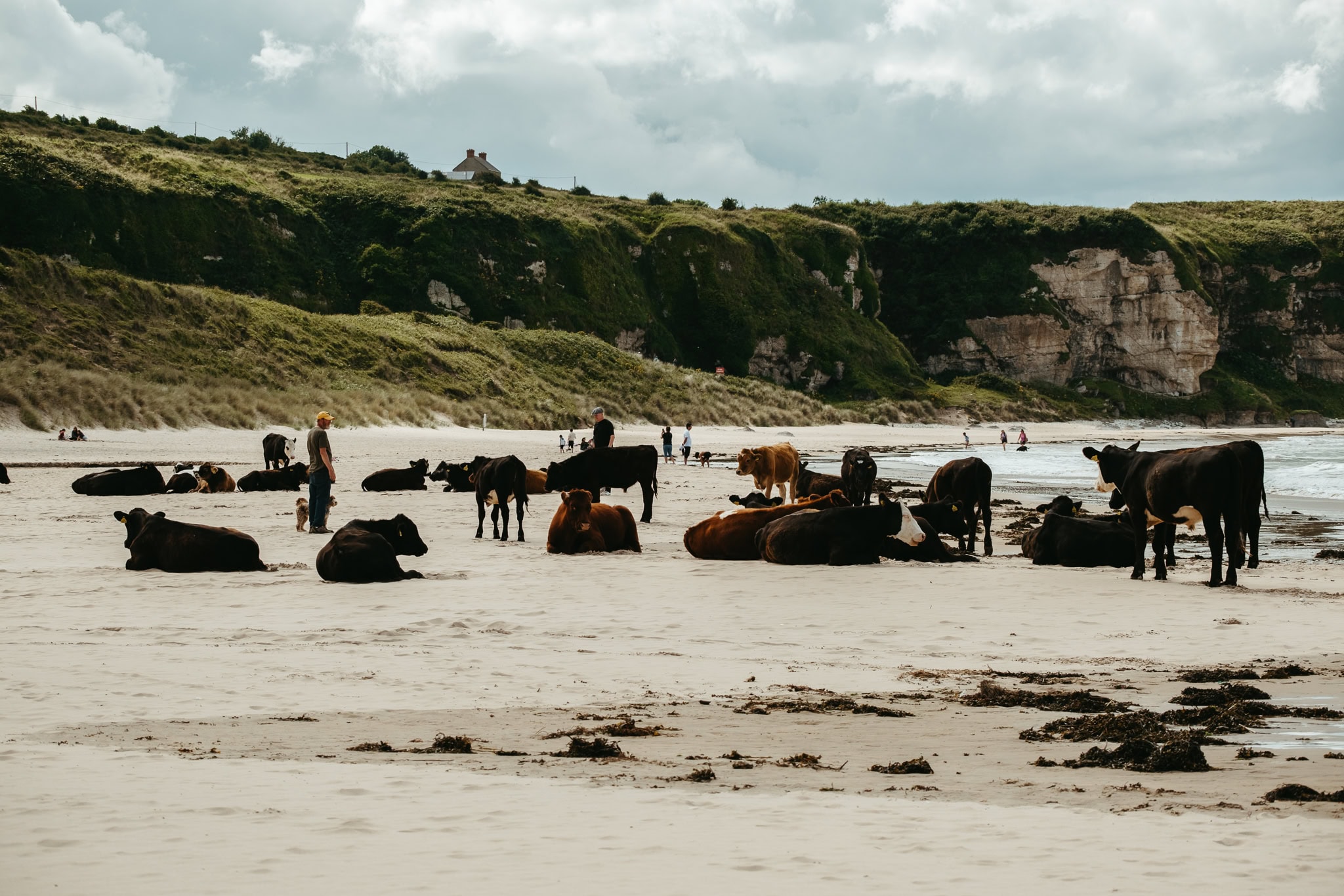
I, frankly, could not believe it when I reached the middle of the beach and encountered an entire herd of cows. Most were laying down, just relaxing on the sand. Some were wandering about, walking near the waves.
Later, I learned that the cows belong to a local farmer who rents nearby land from the UK’s National Trust, and that the cows have free reign to wander around the beach at certain times of the year. It’s a win-win — the cows get to eat, and chill, and in the process, their grazing contributes to conservation efforts in the beach’s dunes.
Plus: cows on the beach! It’s weird, and cool, and quite picturesque if you ask me. (And if I tell you that I had a slightly modified version of Taylor Swift’s “Snow on the Beach” in my head the whole time — “cows on the beach // weird but f***ing beautiful” — what of it?)
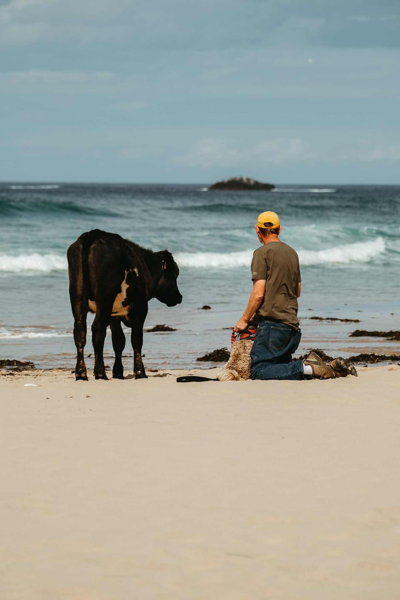
I took lots of photos of the cows, and watched a man and his dog try to engage with them (unsuccessfully), and admired them from a healthy distance. Truly, the cows were just doing their own thing, and showed little interest in any of the people sharing the beach with them.

When you’re ready to move on, continue walking toward the other end of the beach. Again, you will need to walk onto the rocks that extend around the corner in order to leave White Park Bay and continue along the trail. This area may also be impassable at high tide.
Indeed, by the time I reached that end of the beach, I couldn’t possibly get across the boulders — the tide was way too high and had covered the rocks more or less completely. I was forced, instead, to climb up the neighboring hill, walk over the field on top of the hill, and back down to the trail below on the other side. (If you have to do the same, you can follow my path via the map at the top of this post!)
Ballintoy Harbour
After leaving White Park Bay, walk through the grassy area into Ballintoy Harbour, where you will find a cafe. There are also some toilets that you may be able to access.

Leave Ballintoy Harbour via the access road. Just past the church at the top of the hill, the trail leaves the road via a path on the left — take it. The path follows the cliffs beside pastures and leads directly to the Carrick-a-Rede parking lot.
Experiencing Carrick-a-Rede
Parking at Carrick-a-Rede costs money, but entrance to the site is free. So, because you walked to Carrick-a-Rede, you will pay nothing to see the bridge. Simply walk across the parking lot and through the entrance gate.
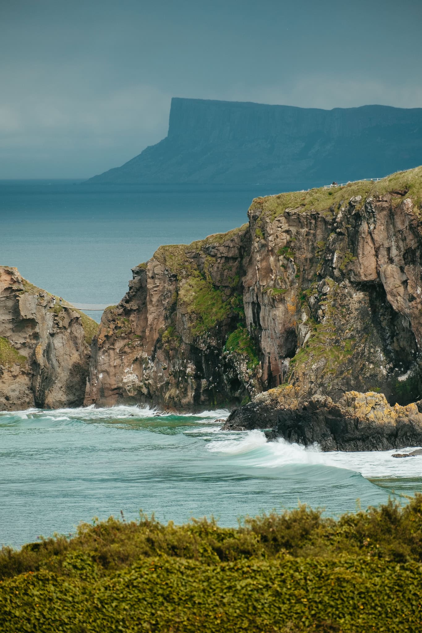
It takes about 15 minutes to walk from the entrance area to the bridge itself. Be aware that there are a number of steps down as you approach the bridge.
Access to the bridge itself may close before the broader site closes. Unfortunately, on the day I visited, workers closed the door to the bridge while I was still walking toward the bridge — around 5:25 p.m. or so. As a result, I could not walk across the bridge and onto Carrick-a-Rede Island.
However, even if this happens to you, you can still see the bridge and walk to the viewpoint across from it.


Returning to Your Home Base
When you have seen enough at Carrick-a-Rede, follow the road out to the exit.
If you’d like to keep walking, you can continue to follow the Causeway Coast Way trail all the way to Ballycastle.
If, instead, you’re ready to return to your lodging, you’ll find a bus stop at the exit to Carrick-a-Rede. Westbound buses stop directly beside the exit, while eastbound buses stop on the other side of the road. Check the Translink website for the bus schedule.
More Information About Northern Ireland
ITINERARY | Here’s your perfect itinerary for one delightful week in Northern Ireland.
GETTING AROUND | It’s refreshingly easy and inexpensive to travel Northern Ireland without renting a car. Here’s how.
COST OF TRAVEL | Find out exactly how much I spent for 10 days of travel in Northern Ireland.
THINGS TO DO | Learn all about some of my other favorite things to do in Northern Ireland, including exploring Giant’s Causeway and taking a day trip to Rathlin Island.
DERRY | Spend two wonderful days in my favorite city in Northern Ireland: Derry.
BELFAST | Northern Ireland’s small capital city, Belfast, is a complicated and lovely place. Here’s how to spend one day there.
pin this post





Hello! Fantastic post, and I am planning a similar trip this year. I’m wondering what your thoughts are on doing the walk in the opposite direction, ie from the Giant’s Causeway towards Carrick-a-Rede?
Thanks very much! Gorgeous photos, your blog posts are a real wealth of helpful info.
Thanks so much for your kind feedback — it’s truly lovely to hear that my blog is helpful to you!
I think the walk would be equally delightful going the opposite direction, and I can’t think of any reason it might be a problem, other than the high tide issues at White Park Bay. You’ll want to check the tide schedule (which is linked in the post) and try to avoid getting to the bay anywhere near high tide. But that is of course a problem no matter which way you are walking!
Enjoy your trip and your hike! I loved Northern Ireland SO much.
Thank you for your perspective, it’s truly appreciated! The important tidal issues – I’d certainly have naively missed this consideration before finding your blog post, but am heeding your advice and will ensure to take this seriously.
I am considering breaking things into two leisurely walking days, first day walking from Ballycastle to Carrick-a-Rede, staying overnight, and then to the Giant’s Causeway, ultimately bussing back to Ballycastle. Gosh – there just appears to be so much beautiful coastline to explore, and your photos are seriously stunning.
I’m also taking your advice to visit Derry at the start of my trip, so thanks as well for including great details about the Bogside tour (and other good tidbits). Very excited!
That would be great, I’m sure! Provided, of course, that you’re comfy with carrying the things you need for an overnight stay.
One more thing I thought of: I think there might be more uphill climbing if you go from Carrick-a-Rede toward Giant’s Causeway — I would say I was going downhill more often than I was going uphill, at least in my memory, and that makes sense to me since I started high on cliffsides and got down to a bay and a harbor. But I don’t recall any super steep climbs or descents, other than the hill I climbed to avoid the high tide at White Park Bay.
I just finished a Derry Girls rewatch so Derry has been on my mind lately. I’m jealous of your trip — I would love to go back! I hope you enjoy it as much as I did.